Flood Modelling – Birrarung (Yarra River) Greenline Project


City of Melbourne
Naarm / Melbourne, Victoria
October 2023
April 2025
Rain was engaged to provide flood modelling for Stage 1 and Stage 2 of The Greenline Implementation Plan for the City of Melbourne.
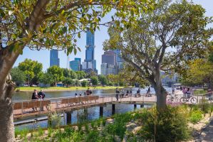
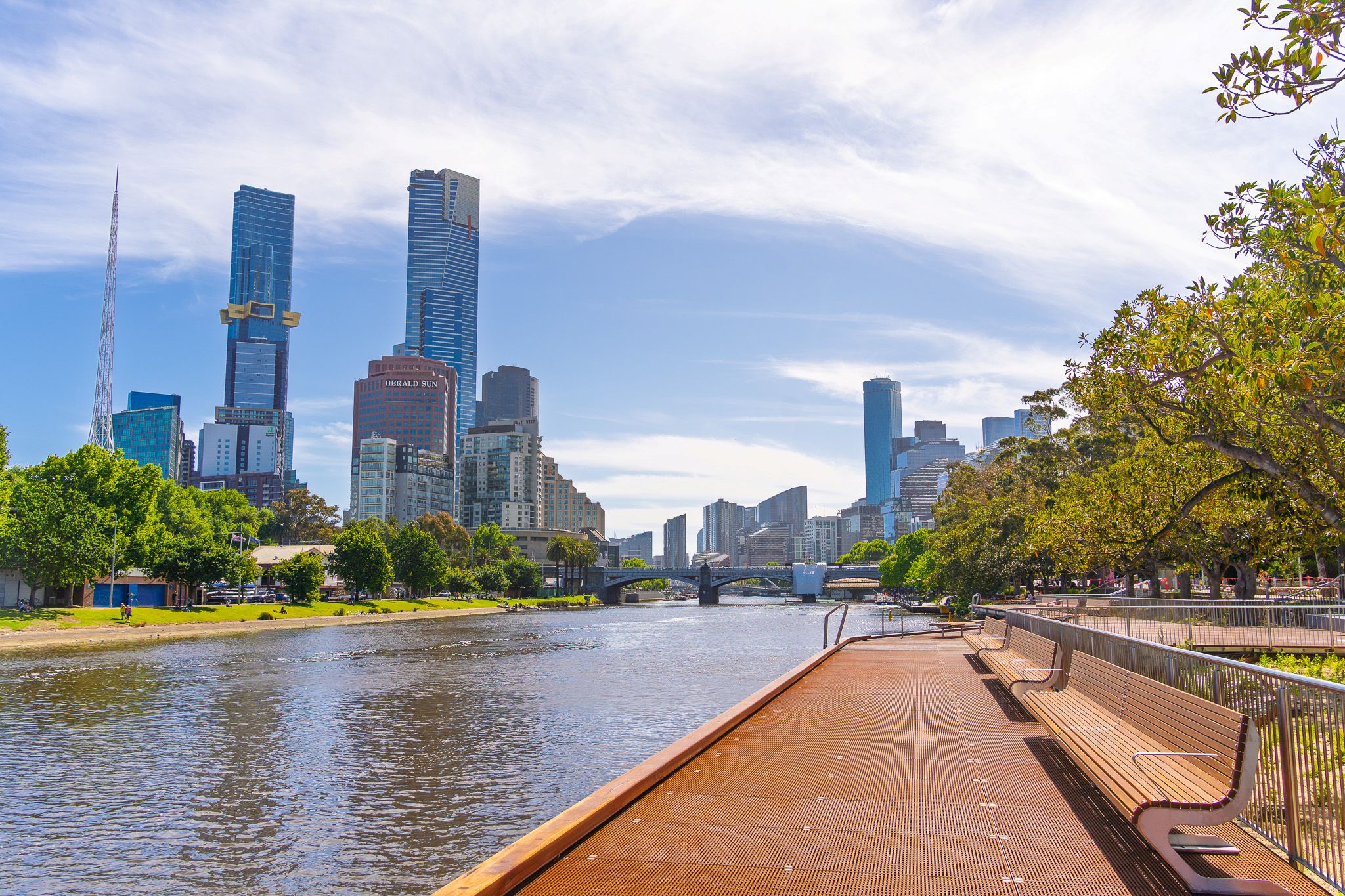
The Greenline Initiative provides a continuous, 4 km journey along the north bank of the Yarra River from Birrarung Marr to the Bolte Bridge.
Above & Beyond Strategies
In Stage 1, the City of Melbourne engaged Rain to provide expert assistance and attend review meetings. Rain reviewed previous findings and provided technical guidance aimed at improving afflux on private properties.
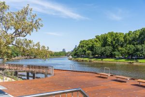
In Stage 2, the City of Melbourne proposed boardwalks, green areas, and parkland on the northern side of the Yarra River, extending from Yarra River Park at the eastern point to former Osaka Oriental Garden at the western point (approximately 4 km).
This project required Rain to navigate several complex environmental factors, including:
- Modelling floating structures along the Yarra River, such as a helipad, restaurant, recreational boating dock and wetlands.
- Modelling boardwalks and seawalls that are fixed to piers and allow water to flow underneath them.
- Providing technical guidance to other consultants to improve the TUFLOW model boundary conditions and stability.
Rain delivered the following solutions.
- Digitised the survey and proposed surface data, provided in PDF format. The TUFLOW model used this data for Stage 2 of the works.
- Rain modelled floating wetlands based on manufacturer requirements by considering the effect of different parts of the wetland, including plant roots and planting media, on the Yarra River water surface level.
- Rain utilised the survey data and incorporated all proposed and existing floating boat structures, as well as other floating structures, into the TUFLOW model.
- Boardwalks, stairs, and seawalls proposed for construction on piers were included in the model as closely as possible to the design requirements. These structures needed to be modelled in a way that allows water to flow under them, while also considering the effect of piers on the water flow.
- Rain facilitated workshops to explain the modelling outcome to a broad audience that included the City of Melbourne team and architects.
- Working with another consultancy, Rain improved the tidal downstream boundary condition by applying a sinusoidal pattern, which enhances model stability and makes flood behaviour more realistic.
- The TUFLOW model includes all model improvements and proposed works.
- Flood maps include depth, velocity, hazard and afflux.
- A final report outlining methodology, flood maps and discussions.
Providing the City of Melbourne with robust, specialist flood modelling to guide the Greenline’s 4 km transformation—ensuring new boardwalks, green spaces, and riverfront destinations are designed to coexist safely and sustainably with Birrarung.